LOT 3054
17th May 2011
1/1
Place a bid
You’ll need to sign in to place a bid or add this to your wishlist
Not yet registered? Click here
Condition Report X
LOT 3054
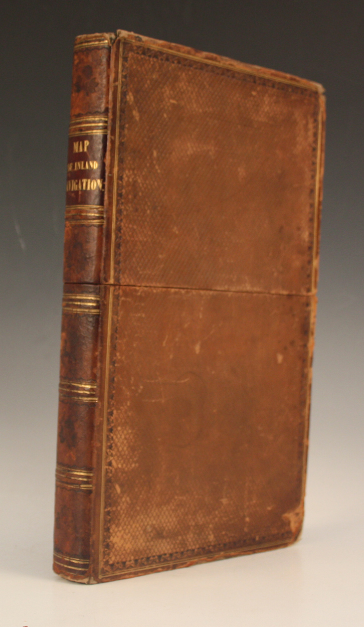
MAP. - Joseph PRIESTLEY. Map of the Inland Navigation, Canals, and Rail Roads with the Situations of the Various Mineral Productions throughout Great Britain. Wakefield & London: 1830. Hand-coloured engraved map (1875 x 1588mm.) In 48 sections backed onto linen. (Browning, ink stains to lower sections.) Contained within contemporary calf faux-book slip-case (somewhat scuffed).
Hammer price: £550
( Plus
Buyer’s Premium
)Buyer’s Premium is an additional charge on each lot sold, currently this is set at 24.5% plus VAT (29.4% including VAT) of the hammer price.
All sold prices shown exclude Buyer’s Premium
Condition Report
There is no condition report for this lot.