LOT 179
23rd July 2020
1/4
Place a bid
You’ll need to sign in to place a bid or add this to your wishlist
Not yet registered? Click here
Condition Report X
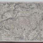
LOT 179
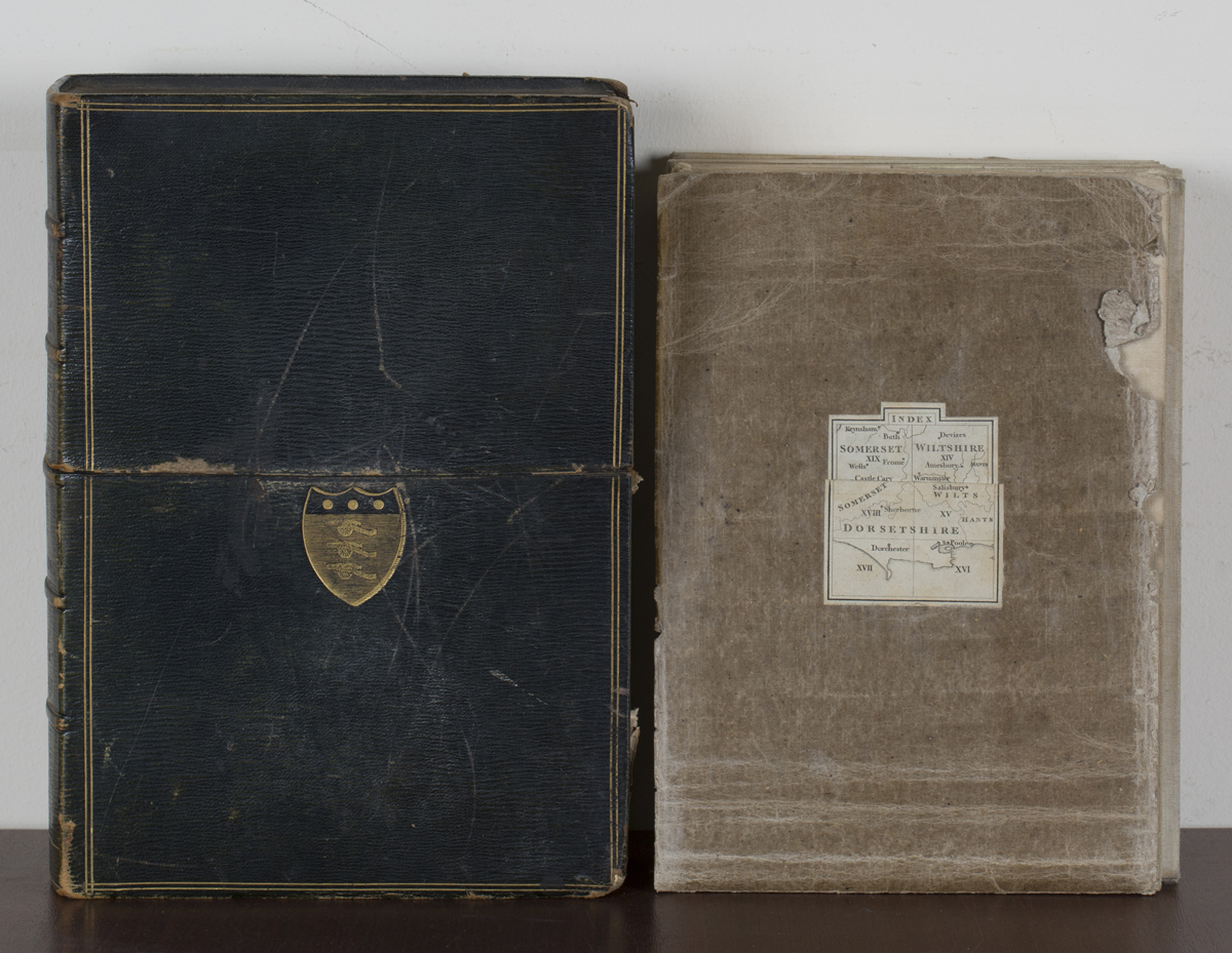
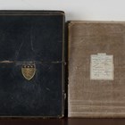
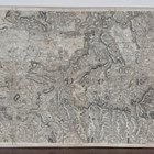
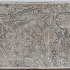
Ordnance Survey (publishers) - Map of Dorset, Wiltshire with Part of Hampshire and Somerset, Sheets XVI, XII, XV, XVIII, XIV and XIX, six engravings, circa 1801, each in sixteen unequal sections and backed onto linen, each overall 62 x 79.5cm, all folding within a straight-grain morocco slipcase.
Hammer price: £240
( Plus
Buyer’s Premium
)Buyer’s Premium is an additional charge on each lot sold, currently this is set at 24.5% plus VAT (29.4% including VAT) of the hammer price.
All sold prices shown exclude Buyer’s Premium
Condition Report
There is no condition report for this lot.