LOT 181
23rd July 2020
1/2
Place a bid
You’ll need to sign in to place a bid or add this to your wishlist
Not yet registered? Click here
Condition Report X
LOT 181
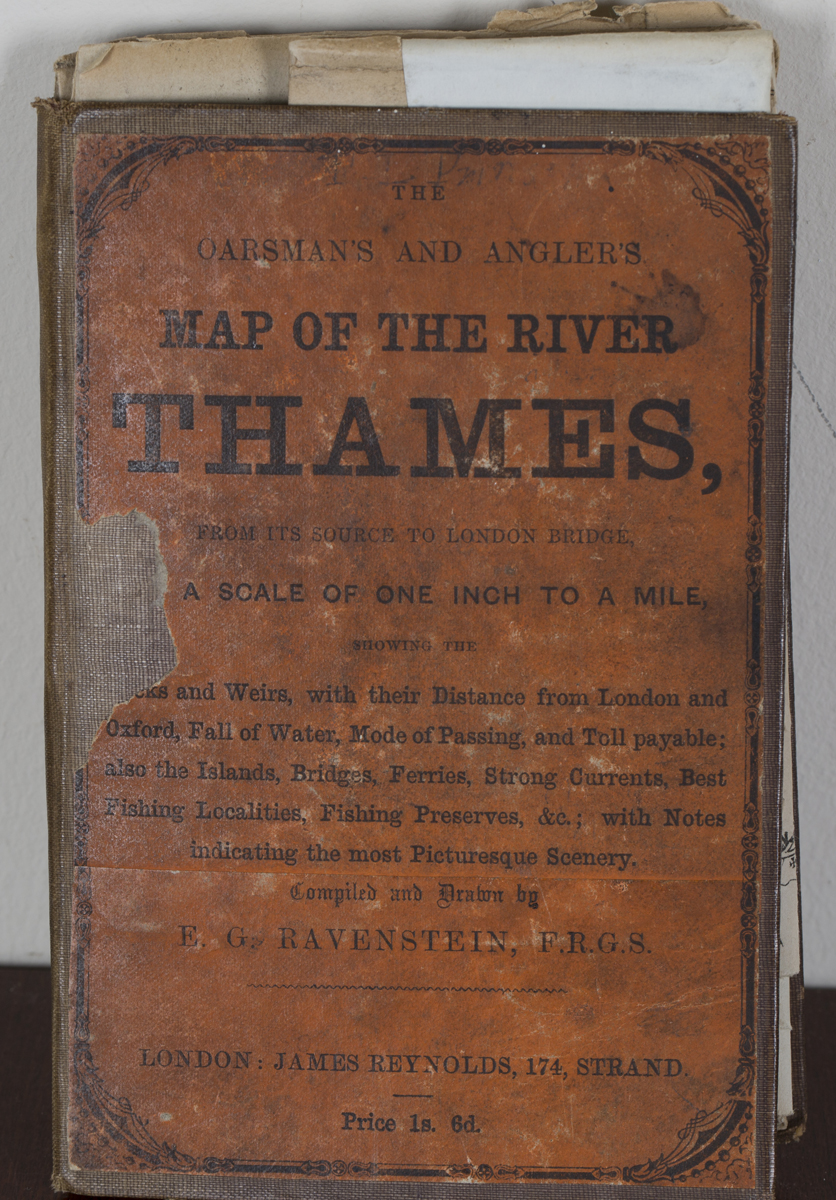
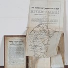
E.G. Ravenstein - 'The Oarman's and Angler's Map of the River Thames', folding engraved map, published by James Reynolds, circa 1861, 260cm x 16.5cm within cloth boards with paper label mounted on the upper cover. Note: the scarce first printing of this map, including mention of the East or New Weir at Grafton which was demolished in 1869 and therefore not mentioned in later editions.
Hammer price: £25
( Plus
Buyer’s Premium
)Buyer’s Premium is an additional charge on each lot sold, currently this is set at 24.5% plus VAT (29.4% including VAT) of the hammer price.
All sold prices shown exclude Buyer’s Premium
Condition Report
There is no condition report for this lot.