Antiquarian and Collectors’ Books
Tue, 19th February 2019
Wed, 1st April 2026Wed, 26th November 2025Wed, 23rd July 2025Wed, 2nd April 2025Wed, 4th December 2024Wed, 17th July 2024Wed, 24th April 2024Tue, 12th December 2023Wed, 26th July 2023Wed, 22nd March 2023Tue, 13th December 2022Tue, 26th July 2022Tue, 29th March 2022Tue, 30th November 2021Wed, 21st July 2021Wed, 17th March 2021Wed, 11th November 2020Thu, 27th August 2020Tue, 17th March 2020Tue, 5th November 2019Tue, 13th August 2019Tue, 21st May 2019Tue, 19th February 2019Tue, 2nd October 2018Tue, 15th May 2018Tue, 20th February 2018Tue, 3rd October 2017Mon, 24th April 2017Tue, 4th October 2016Mon, 11th July 2016Mon, 18th April 2016Tue, 6th October 2015Tue, 21st April 2015Tue, 7th October 2014Tue, 20th May 2014Tue, 25th February 2014Tue, 8th October 2013Tue, 14th May 2013Tue, 19th February 2013Tue, 9th October 2012Tue, 10th July 2012Tue, 21st February 2012Tue, 4th October 2011Tue, 17th May 2011Tue, 25th January 2011
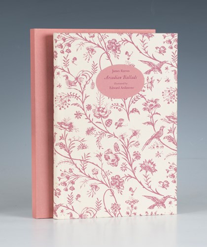
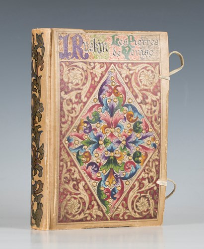
LOT 3086
Hammer price: £75
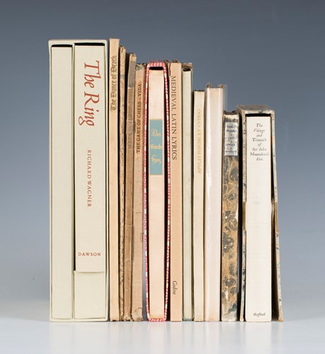
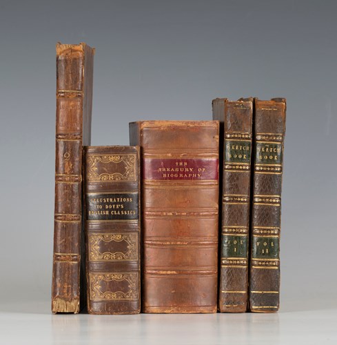
LOT 3089
Hammer price: £340
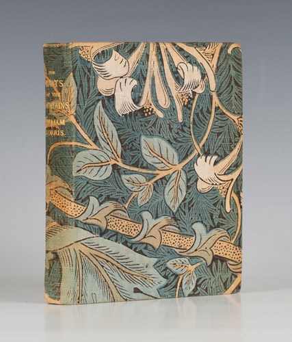
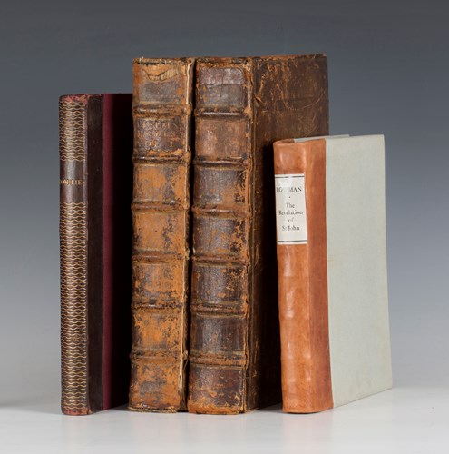
LOT 3092
Hammer price: £950
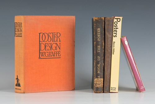
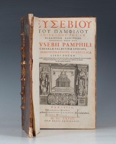
LOT 3095
Hammer price: £80
LOT 3098
Hammer price: £400
LOT 3101
Hammer price: £260
LOT 3104
Hammer price: £110

LOT 3087
Hammer price: £170
LOT 3090
Hammer price: £100
LOT 3093
Hammer price: £120
LOT 3096
Hammer price: £75
LOT 3099
Hammer price: £170

LOT 3102
Hammer price: £8,500
LOT 3106
Hammer price: £110

LOT 3088
Hammer price: £340
LOT 3091
Hammer price: £110
LOT 3094
Hammer price: £60
LOT 3097
Hammer price: £70
LOT 3100
Hammer price: £130
LOT 3103
Hammer price: £100