LOT 165
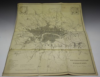
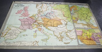
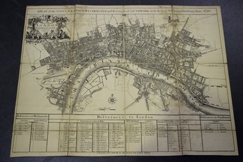
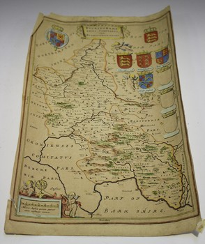
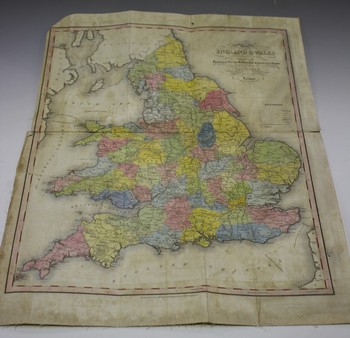
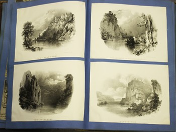
Thomas Starling, after R. Creighton - 'Map of England & Wales Divided into Counties Shewing the Principal Roads, Railways, Canals & the Rivers as far as they are Navigable', 19th century engraving with later hand-colouring, folded and backed onto linen, 53.5cm x 42cm, together with a small collection of other maps.
Hammer Price: £25
( Plus
Buyer’s Premium
Buyer’s Premium is an additional charge on each lot sold, currently this is set at 24.5% plus VAT (29.4% including VAT) of the hammer price.
)