LOT 7
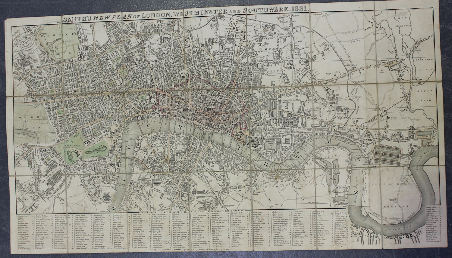
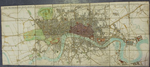
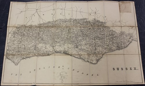
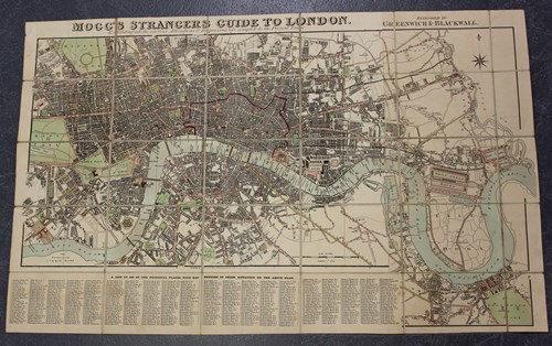
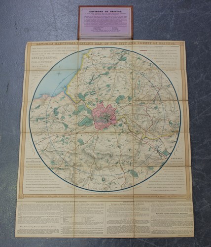
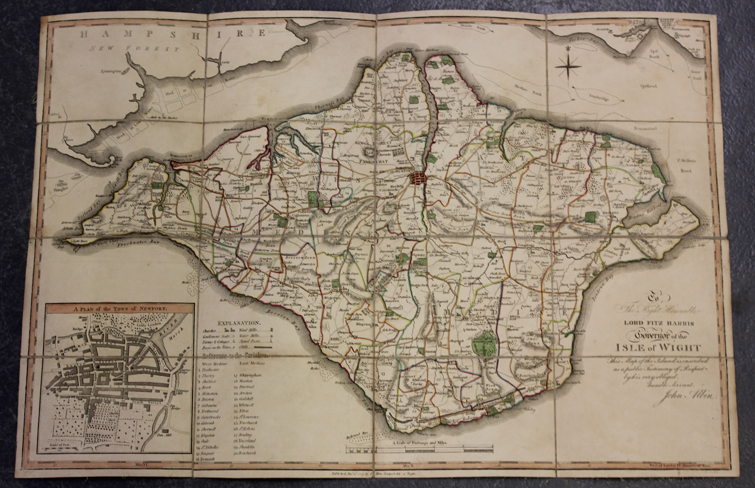
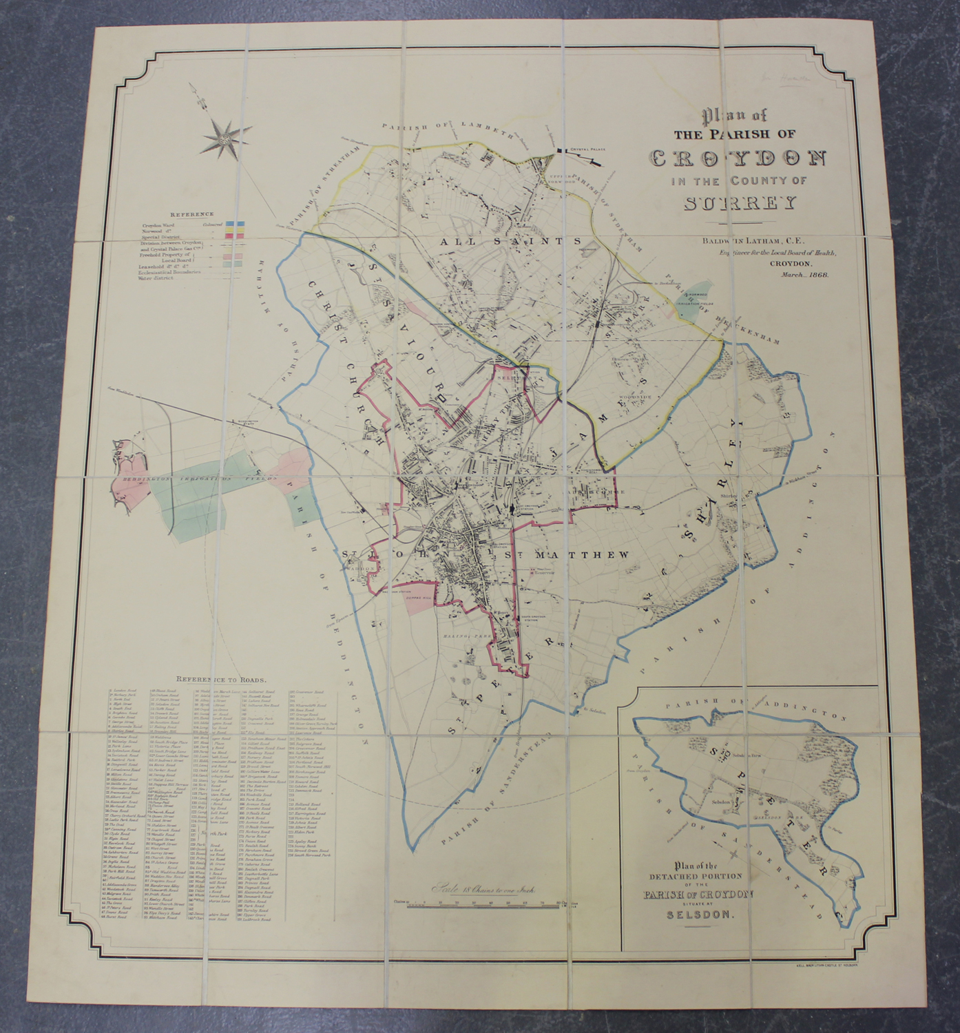
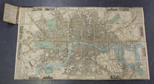
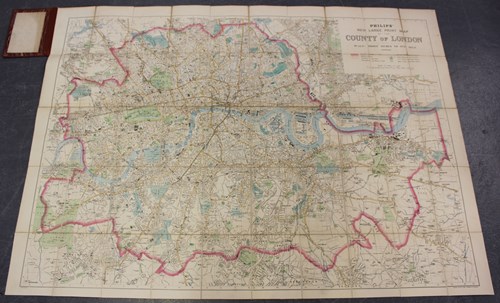
George C. Ashmead (publisher) - 'Plan of Bristol and its Suburbs, reduced from the original survey of the late J. Plumley, with additions by Geo. C. Ashmead', engraving in 18 sections, folded and backed onto linen, circa 1833, overall 64cm x 79cm, within cloth covered boards, together with William Lander's 'Electoral District Map of the City and County of Bristol', engraving, hand-coloured in outline in 18 sections, folded and backed onto linen, published circa 1840, overall 61cm x 50cm, within cloth covered boards.
Hammer Price: £280
( Plus
Buyer’s Premium
Buyer’s Premium is an additional charge on each lot sold, currently this is set at 25% plus VAT (30% including VAT) of the hammer price.
)